The Haji Pir Pass is a geographical weakness that gives Pakistan sleepless nights, especially when a conventionally superior neighbour, India, has all the capability to exploit this weakness at any time of its choosing.
Every nation has some geographical advantages and disadvantages, and in Pakistan’s case, it’s not an exception either. The Haji Pir Pass is one such geographical weakness that gives Pakistan sleepless nights, especially when a conventionally superior neighbour, India, has all the capability to exploit this weakness at any time of its choosing.
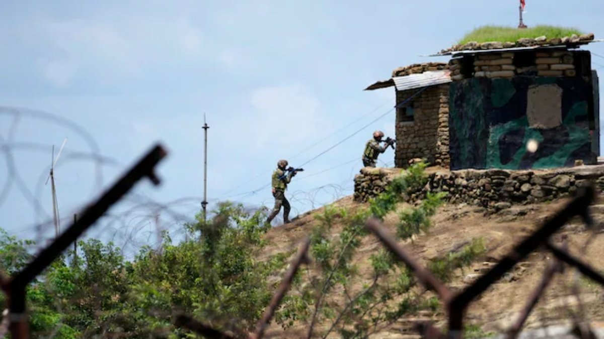
Located in the formidable Pir Panjal range, the Haji Pir Pass connects Poonch in Jammu and Kashmir to Rawalakot in Pakistan-occupied Kashmir (PoK). This strategic pass is situated at a height of 2,637 metres (8,652 feet). The Pass is often used by Pakistani terrorists to infiltrate India.
According to defence experts, if India takes control of the strategic pass, it would substantially curtail the Pakistani infiltration bid. Pakistani terrorists use the cover of dense forests and vegetation to undertake proxy terrorism. India’s capture of the pass will deny Pakistan’s non-state actors the big advantage.
Another major advantage of the Haji Pir Pass is that it significantly shortens the road distance between Poonch and Uri, i.e., from 282 km to almost 56 km, ensuring better connectivity between Jammu and Kashmir Valley, according to Eurasian Times.
In 1947, soon after independence, Pakistani tribals and soldiers attacked India’s Jammu and Kashmir. They were repelled by the Indian Army, but an area of Kashmir remained with Pakistan. This included the Haji Pir Pass. Through the Haji Pir Pass, Pakistan keeps an eye on a large area near the LoC.
Again in 1965, Pakistan launched an operation dubbed Gibraltar to infiltrate guerrilla terrorists into Kashmir. Pakistani troops took positions on the hills near the Srinagar-Leh highway and started shelling. India crossed the ceasefire line on August 15, 1965, and recaptured the hills. Between August 26 and 28, the Indian Army retaliated and captured the entire area, including the Haji Pir Pass.
However, when ceasefire talks were held between the two countries, India vacated this area in the Tashkent Agreement signed on January 10, 1966.